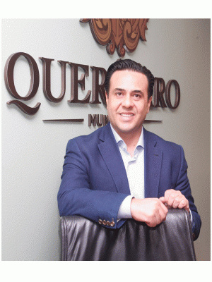
Querétaro, Mexico
General Information
Administrative status
Capital of the State of Querétaro
Historic Monuments Zone of Querétaro
Registration Year
1996
Historical function
Agricultural, industrial and commercial
Location and site
Querétaro is located north-west of Mexico City at an altitude of 1800 metres on a plateau delimited north and south by two lines of hills. The broad agricultural plain of the Bajio stretches out very close by. Seven kilometres away from the urban centre is an archaeological site dating back to the Teotihuacan period (400-600) and the Toltec period (650-1050).
Urban morphology
The native district, in the east, and the Spanish district, in the west, are separated by a hill. The orientation of the chapel (La Cruz) built at the top of the hill as early as the 16th century was used as a reference for the more regular urban layout of the colonial district. This hill, which is now the site of a Franciscan monastery, and the Plaza de Armas are the main features of the urban framework. In the east part of the city, a magnificent aqueduct (1735) with its 74 arcades stretches for more than one kilometre.
The many churches and monasteries, the palaces and houses and the fountains make up a mainly Baroque architectural landscape. Inside these buildings the style is expressed even more freely as evidenced by the de Santa Clara and the de Santa Rosa monasteries with their Plateresque and Churrigueresque elements and by numerous enlarged or renovated monuments. In addition to the Baroque work neoclassical monuments or elements (end of the 18th century) can also be found.
Registration criteria
Criterion (ii): The Historic Monuments Zone of Querétaro has a unique urban character and layout that reflects the coexistence of different groups in the same urban space. It has several well preserved civil and religious buildings, which have unique constructive and decorative expressions, as the variety of poly-lobed arches and unique mixtilinear caryatids supports quad of St. Augustine.
Criterion (iv): The Historic Monuments Zone of Querétaro is an exceptional example of a Spanish colonial town whose layout symbolizes its multiethnic population. It is also endowed with a wealth of outstanding buildings, notably from the 17th and 18th centuries.
Historical reference
- Inhabited by the Otomi, the future Querétaro fell into the hands of the Aztecs (1446) before being conquered by an Otomi chief named Charles V (1531). Soon after that a number of Spanish, Tarasco and Chichimeca people joined the Otomi and settled down there.
- Because Querétaro was located near agricultural resources its role in the organization of the land of New Spain included providing supplies to the mining cities of Guanajuato and Zacatecas. It achieved the status of city in 1655 and reached a peak.
- In the 18th century, the prosperity generated by the mining centres resulted in architectural developments inspired by the Baroque style in the city.
- The independence of Mexico in 1810 was followed by economic decline in Querétaro and its region. Military confrontations continued.
- The peace treaty with the United States was signed in Querétaro in 1848, which was then the seat of government. Furthermore Querétaro is where the emperor Maximilian de Habsbourg was taken and shot after the imperial army was defeated by the republican forces. After a reconstruction period, all the revolutionary groups (1917) signed the new national Constitution (which is still in force) in Querétaro.
Photos

News
14 May 2019
Zoom on Urban Heritage | Historic Monuments Zone of Querétaro
Querétaro, Mexico
Latin America
Zoom on Urban Heritage
Contact

Mtro. Felipe Fernando Macías Olvera
Presidente Municipal de Querétaro
Municipio de Querétaro
Blvd. Bernardo Quintana 10000Col. Centro Sur
Querétaro, Querétaro, México
76090
+52.442 238.7700 Ext. 6001
felipe.macias@municipiodequeretaro.gob.mx


